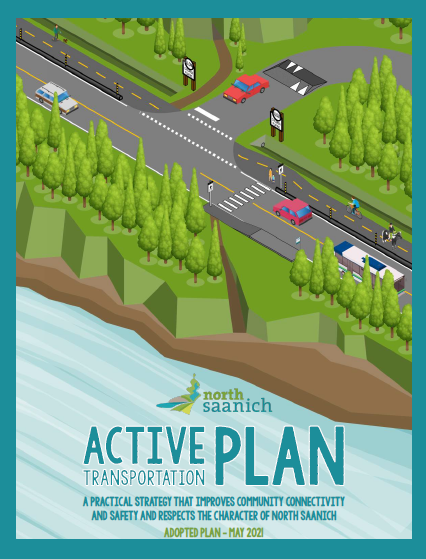
Active Transportation Plan
View the North Saanich Active Transportation Plan
The North Saanich Active Transportation Plan was approved in May 2021. This high-level plan, developed through two rounds of public engagement, provides guidance to staff for advancing active transportation initiatives.
Major improvement projects identified in the plan require further technical study, detailed design, and public engagement with all users including pedestrians, cyclists, motorists, and equestrians prior to implementation.
Current Projects
2024: Lands End Road multi-use path concept design. Design showing preferred facility and alignment to be presented for public engagement in Spring 2024.
2024: Deep Cove Neighbourhood Gateways and Tatlow Road Traffic Calming. Public consultation and design ongoing to identify issues and solutions for resident safety concerns. Recommendations to be presented to Council Fall 2024. To learn more please click here.
2024: The Parks Master Plan is scheduled to finalize Phase 2 Community Engagement in Spring/Summer 2024.
Future Projects
Past Projects
2023: Multi-use path and storm sewer upgrades completed on McDonald Park Rd from Glamorgan Road to Mills Road. Work was partially funded by $500,000 BC Active Transportation Grant.
2020: The District completed installation of bike lanes on all portions of West Saanich Road within the District.
About the Plan
What is active transportation? Active transportation is any way of traveling using your own power to get from one place to another. This includes walking, wheelchairing, cycling, or rolling by other means.
What is the Active Transportation Plan? The Active Transportation Plan identifies how to improve roads and trails to make it easier and safer for people to walk and cycle in North Saanich. It is a high-level plan that provides guidance to staff for advancing active transportation initiatives. Major improvement projects identified in the plan will require further technical study, detailed design and public engagement.
Why did we create the plan? To make it easy and safe to travel by active transportation:
- improves community health and well-being
- can reduce congestion and transportation-related emissions
- is more affordable for more people and that money can be spent in other ways in the community
Who was involved in creating the plan? The plan was created through two phases of public engagement. Through July and August 2020, 283 people completed the initial survey. Through January and February 2021, the draft Active Transportation Plan was presented for feedback. Approximately 25 people attended the the virtual Q&A session. 383 people completed the draft Active Transportation Plan survey. 136 government partners, including First Nations, and community stakeholders and organizations, including resident and business associations and social service agencies, were invited to participate through both phases of engagement.
Find out more about the public engagement: connectnorthsaanich.ca/active-transportation-plan


